A Quick Fix
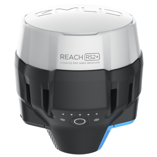
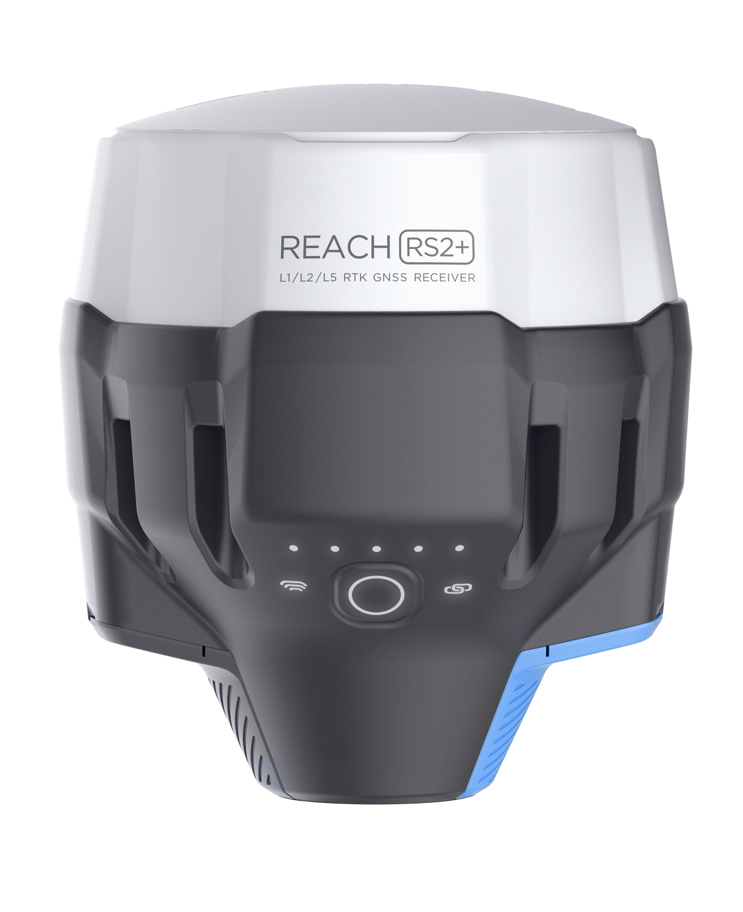
Tracking GPS, GLONASS, Galileo and BeiDou signals, the RS2 can provide a fixed solution in seconds and maintain accuracy in corridors, under tree canopy, and in other challenging environments.
|
OPUS PPP
Support
Get centimeter-precise results in any place on Earth. Process RINEX files in an online service and get position with absolute accuracy. Compatible with Online Positioning User Service, Leica Spider Business Center Post Processing and more.
|
GPS, GLONASS, BeiDou, Galileo, and QZSS
L1OF, L2OF, L1C/A, L2C,E1B/C, E5b, B1I B2I
Built-in UHF Radio
The RS2 includes an internal 915 Mhz UHF LoRa radio, with line of site range up to 8 km. Environment is a significant factor in the range of the LoRa radios. Obstructions may decrease the range, while some users have noted range exceeding 8km.
|
Long Lasting
On a single charge, the Reach RS2 lasts up to 22 hours, even in colder weather. When a charge is needed, the RS2 can use a wall charger or a power bank over USB-C. Its durable design (IP67) allows it to perform in even the most inclement conditions.
|
Accuracy - Side-by-Side Specs
| Accuracy (mm) |
Emlid Reach RS2 |
Topcon Hiper VR |
Trimble R10 |
Leica GS18 |
| Static Horizontal |
4 + 0.5 ppm |
3 + 0.1 ppm |
3 + 0.1 ppm |
3 + 0.1 ppm |
| Static Vertical |
8 + 1 ppm |
3.5 + 0.4 ppm |
3.5 + 0.4 ppm |
3.5 + 0.4 ppm |
| RTK Horizontal |
7 + 1 ppm |
10 + 1 ppm |
8 + 1 ppm |
8 + 1 ppm |
| RTK Vertical |
14 + 1 ppm |
15 + 1 ppm |
15 + 1 ppm |
15 + 1 ppm |
Emlid Flow is Now Available
User-friendly software for data collection created by Emlid for Android and iOS.
Features Include:
- Coordinate systems support. More than a thousand coordinate systems are available. The app has built-in support for grid and geoid transformations.
- Different units of measurement. The pole height and stakeout distance automatically work in feet or meters, depending on the project’s coordinate system.
- Ability to handle complex projects. Easily load thousands of points and smoothly control the map pans and zooms.
- Storing the data in the app. You can now access your projects at any time with no need to turn on the receiver.
- Simple data collection. Collect points by averaging or with just one click.
- Quick data export. Export and share collected data promptly using any file sharing app on your phone.
- Switching NTRIP profiles. You can easily switch between multiple NTRIP profiles – all the credentials are stored on the phone.
|


